
Sources for Rexburg Neighbors
A block lookup combines land, election, planning, and community sources. The records do not all describe the same people. Parcel files identify owners. Voter material covers registered electors and omits protected data. A community site may describe one association, not the whole city. Historical sources show a past block, not today's occupants.
| Block Source | What It Adds Around an Address | How to Reach It |
|---|---|---|
| MRGIS parcel polygons | Adjacent lots, owner, site and mail fields, ZIP, zoning | Public viewer or REST service |
| MRGIS subdivision layer | Name, recorded date, instrument, jurisdiction | Public REST layer |
| City maps | Street, aerial, subdivision, zoning, impact-area context | Printable and planning map pages |
| Idaho voter record | Allowed registered-elector fields, with protected exceptions | VoteIdaho or official report request |
| Association sources | A registration route and limited community-specific leads | City forms or the group itself |
| Local history | Past block events, notices, obituaries, and address clues | Library, BYU-Idaho, archives, microfilm |
Ownership is not occupancy. A tax-mail address can sit outside Rexburg, and the people who live at a parcel may not own it. Even when a voter record names someone at the same site, it does not list every person nearby. Read each source for the narrow fact it was made to record.
Map Your Rexburg Block
The Madison County and Rexburg MRGIS viewer is the clearest way to move from one address to the immediate block. Its parcel layer stores polygon geometry and supports distance queries. A live “neighbors” button was not captured, so use ordinary map browsing or the verified REST geometry tools.
- Search the known address and zoom until parcel boundaries are clear.
- Record its PARCEL_ID, SITE_ADD, OWNER1 or OWNER2, mailing fields, subdivision, zoning, and total value where shown.
- Click each polygon that shares a boundary. For a wider radius, query the official parcel service by geometry or distance.
- Check the subdivision and JURISDICTION fields before calling every nearby parcel part of Rexburg city.
- Use other rolls only to answer a specific question, and keep protected or absent people out of any inference.
This flow keeps the search centered on adjacent land rather than a loose list of names. For every property along a full named road, continue with the Rexburg street directory workflow.
Read Rexburg Neighbor Addresses
MRGIS has two useful address families. SITE_ADD, SITE_CITY, and SITE_ZIP describe the physical parcel. MAIL_ADD, MAIL_CITY, MAIL_STATE, and MAIL_ZIP describe where tax correspondence goes. The parcel also carries owner names, a legal description, subdivision, jurisdiction, zoning, and parcel ID.
When site and mail fields match, the result may suggest that an owner uses the property as a main home, especially when a valid exemption record supports it. It remains a clue. A match does not name a spouse, relative, roommate, or any other person at the address. When the mail fields differ, do not move that outside address into a list of Rexburg neighbors.
A parcel is a mapped land unit, and a situs address is its physical location. Those terms help prevent the most common block-search error: treating the address used for taxes as proof of who is present next door.
Rexburg Blocks Cross Record Lines
A Rexburg postal label, a Madison County parcel, and the incorporated city boundary can describe different layers. The city impact area lies outside the city while following city planning rules for possible annexation. MRGIS includes jurisdiction fields, and the city publishes planning maps that show this setting.
Review the official planning maps before assigning one office to every parcel, then use the Rexburg planning application catalog for the file types tied to a site.
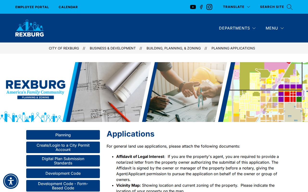
The city clerk handles annexation records, while planning files can include a legal description, vicinity map, ownership evidence, plans, and project history. The public application catalog requires an account for some submissions, and no address-wide permit index was found. Use a narrow city records request if the file is not posted.
Note: A Rexburg ZIP is a postal route, not proof that all nearby parcels share the same city government or records custodian.
Rexburg Neighbors in Voter Data
Idaho's public voter database may include a registered elector's name, physical and mailing address, county, gender, age, optional phone, party, and participation history. Participation means whether the person took part in an election, never how anyone voted. Full dates of birth, identity numbers, signatures, ballot choices, and the physical registration application are not ordinary public fields.
The VoteIdaho tools support individual registration and polling-place checks. The live interface depends on scripts, so its exact input labels were not safely captured. A block-level file or report must go through the Idaho Secretary of State public-records route or Madison County elections office. Idaho Code section 74-120 also restricts using public records to create mailing or telephone lists.
Safe at Home can withhold a physical address and keep voter registration confidential for eligible survivors. Good-cause protection may also remove an address from the public view. Such gaps are deliberate safeguards. They must never be filled by cross-matching another record to reveal a protected location.
Rexburg Neighborhood Roster Gap
Rexburg's city forms catalog includes Neighborhood Association Registration, but research found no public citywide list of registered neighborhood names, leaders, or members. That gap is useful. It prevents a city form from being mistaken for a complete directory of Rexburg neighbors.
| Community Route | Verified Scope | Limit |
|---|---|---|
| City form catalog | Neighborhood Association Registration exists | No public roster was located |
| Meadows at Rexburg | Self-described HOA founded in 2009 | One community, not citywide coverage |
| City boards and committees | Public bodies, meetings, members, projects | Civic boards are not neighborhood associations |
| Congregations and block watch | No verified public roster found | Ask the group; do not infer membership |
The right fallback is direct and modest: contact the city clerk or planning staff about a registered association, consult public meeting records for an area project, or ask a known community organization for its own contact policy. Do not invent an umbrella group where none was documented.
Request Rexburg Block Records
Some block records have no searchable online index. Rexburg planning and permit files are a clear example. Start with the city application pages, then send a focused request that names the street address, parcel, subdivision, project type, and date range. The city clerk is the municipal records custodian and can route minutes, ordinances, annexation files, licenses, and planning material.
The Rexburg public-records request form provides the written city channel.
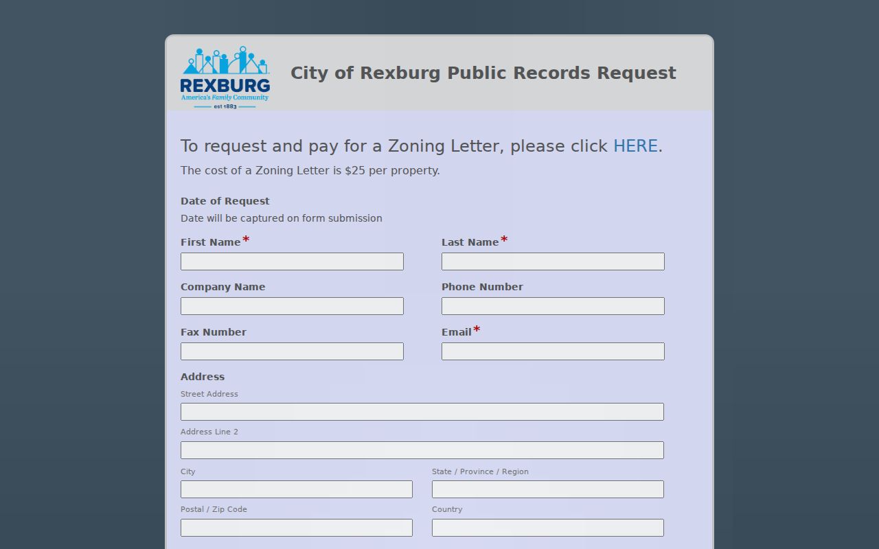
Other access channels matter. Call city GIS at 208-372-2150, the city clerk at 208-359-3020, or Madison County at 208-359-6200. Visit the Assessor or Clerk/Recorder for county files. For old block context, call Madison Library at 208-356-3461 or send a reference request to BYU-Idaho or the Idaho State Archives.
Rexburg Blocks Through Local Memory
Newspapers, maps, and oral histories can explain a block without claiming current residence. BYU-Idaho holds microfilm for several Rexburg newspaper titles, including the Standard, Journal, Standard-Journal, Current Journal, and Silver Hammer. Local papers can carry move notices, property sales, obituaries, civic events, and association names.
The 1976 Teton Dam flood makes dated context especially important. Museum records, flood oral histories, news microfilm, and post-flood deeds can show why a building, street setting, or ownership trail changed. They do not prove who lives at the address now. The 2026 Flood 50 programming gives residents a timely route to those stories.
Madison Library holds an Idaho Collection, while BYU-Idaho's archives list Teton Flood and Upper Snake River Valley oral-history projects. The Upper Snake River Valley Historical Society publishes local history books. Use those sources to learn what happened on a block, then return to dated official records for present ownership.
Official Rexburg Neighbor Sources
Commercial neighbor tools often merge old addresses, phone data, and public indexes without showing when a field changed. Official records have narrower scope, but they name the custodian and make correction or clarification possible. That difference matters when two people share a name or when an owner lives somewhere else.
| Source Type | Strength | Key Caution |
|---|---|---|
| MRGIS and Assessor | Current parcel, owner, site, mail, and jurisdiction data | Owner is not every occupant |
| VoteIdaho and official report | Defined registered-elector fields and legal protections | Not a complete block roster |
| City and archive records | Dated projects, groups, maps, and local events | Often requires a request or reading-room visit |
| Commercial compilation | May combine broad data quickly | Dates, sources, corrections, and identity matches may be unclear |
For scam checks or civic curiosity, verify the key fact at its source. A parcel owner belongs with MRGIS or the Assessor. A planning project belongs with the city. A voter fact belongs with Idaho election officials. A historical claim belongs with the archive item that records it.
Rexburg Community Identity Checks
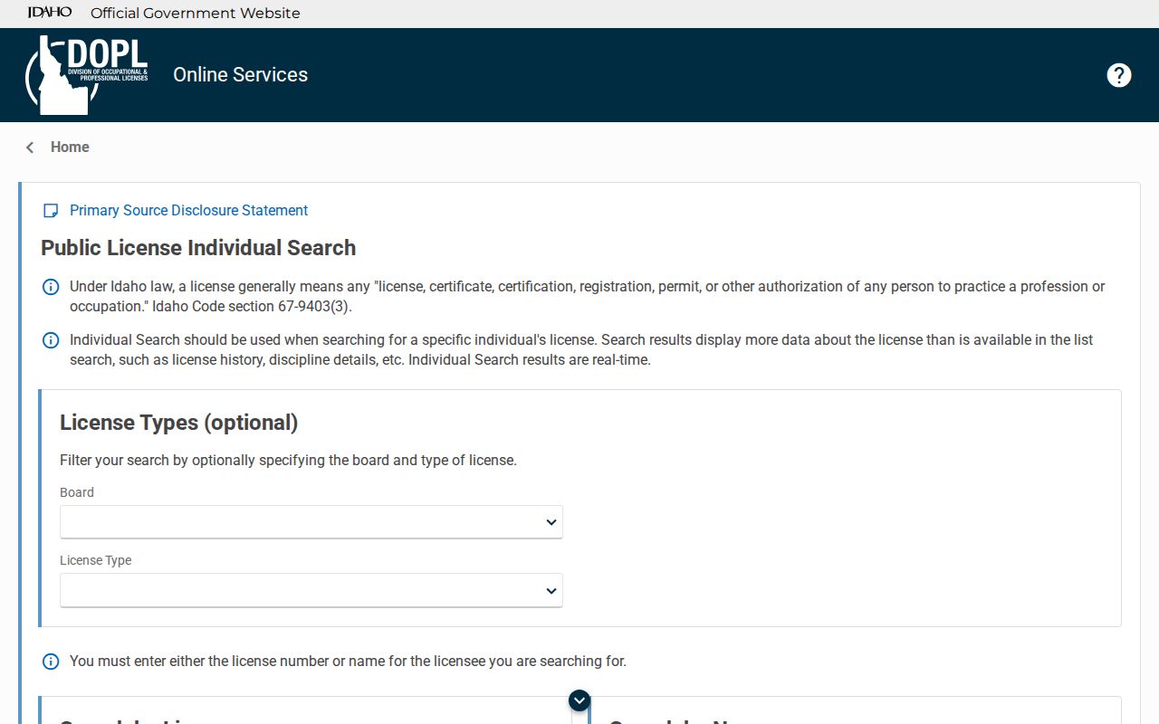
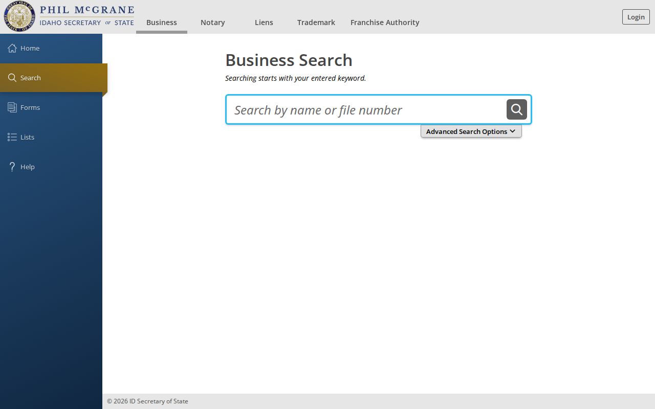
A person or business may be visible through a public role without that role proving a home address. Idaho's professional-license search can confirm a license record, and SOSBiz can confirm a business entity. These sources are useful when a nearby service, project applicant, or public-facing business name needs verification. They are not neighbor rosters.
The Idaho professional-license search shows the official route.
The Idaho SOSBiz search is the official business route.
Privacy for Rexburg Neighbors
Public parcel records do not reveal every person in a home. Voter files exclude people who are not registered and can shield protected addresses. Utility customer records, delivery data, and motor-vehicle addresses are not public block directories. Sealed court files, restricted vital records, and confidential Safe at Home locations stay outside a lawful neighbor lookup.
Absence is not evidence. A resident may rent, use a different mailing address, qualify for protection, or appear only in a source that is not public. Do not use another roll to reverse-engineer a protected location. Mark every record with a date, and never join same-name entries solely because both mention Rexburg.
Lawful use. Use Rexburg neighbor records for civic awareness, reconnecting, local history, and personal safety. Never watch, harass, threaten, or expose another person.
Corrections belong with the record keeper. City material routes through the clerk, parcel data through the Assessor or GIS staff, deeds through the Recorder, and voter material through election officials. A careful block search respects each source's limit as much as its useful facts.